| Hokudan-Town Earthquake Memorial Park (Page 2) |
|
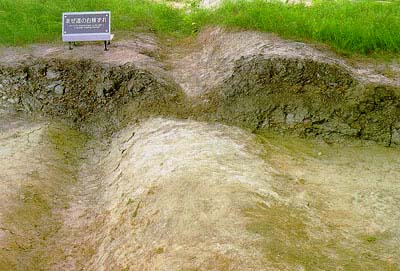
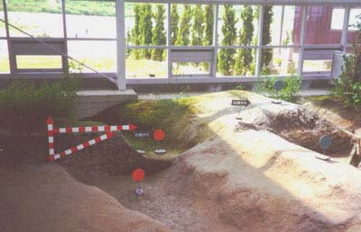
Page 1: Photos from outside the memorial and of the fault just after the earthquake and as it is preserved now. Also a 2 1/2 minute video tour of the fault building. Page 2: Additional photos from inside the fault museum, showing offset gullies, footpaths, and tree lines. Page 3: Photos of the trench that has been excavated at the south end of the building, allowing visitors to see a profile of the fault. Also shown are pictures or two of the many displays located throughout the building. Page 4: Photos of the damaged house located at the southern end of the fault building, now a part of the memorial. Also a 1 minute video tour of the property and a new house being built near the fault. Video documentary (in Japanese, 10 minutes) showing scenes of the damage caused by the earthquake and the construction of the Earthquake Memorial Park. The images are vivid enough to understand without translation. |
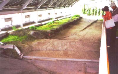 View from the observation deck above the fault scarp. |
 From a display: "Past the section of destroyed road, the Nojima earthquake fault extends south as a fault scarp about 50 cm high. Here, running parallel to the major fault, a minor fault appears as a scarp about 25 cm high. The major fault also experienced lateral dispacement to the right of about 1 m, while there was about 40 cm of lateral displacement along the minor fault. This lateral displacement to the riht is made very obvious by a series of hedges. It is believed that the major and minor faults converge far below the ground surface." |
 Offset footpath |
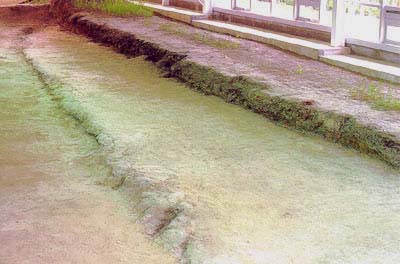
 Offset gully |
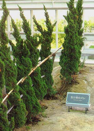 Offset trees |
Phone 213/740-5843
Fax 213/740-0011
e-mail: SCECinfo@usc.edu