| Hokudan-Town Earthquake Memorial Park (Page 3) |
|
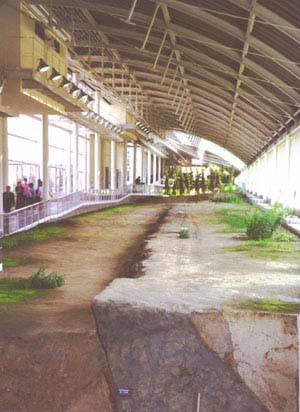
Page 1: Photos from outside the memorial and of the fault just after the earthquake and as it is preserved now. Also a 2 1/2 minute video tour of the fault building. Page 2: Additional photos from inside the fault museum, showing offset gullies, footpaths, and tree lines. Page 3: Photos of the trench that has been excavated at the south end of the building, allowing visitors to see a profile of the fault. Also shown are pictures or two of the many displays located throughout the building. Page 4: Photos of the damaged house located at the southern end of the fault building, now a part of the memorial. Also a 1 minute video tour of the property and a new house being built near the fault. Video documentary (in Japanese, 10 minutes) showing scenes of the damage caused by the earthquake and the construction of the Earthquake Memorial Park. The images are vivid enough to understand without translation. |
|
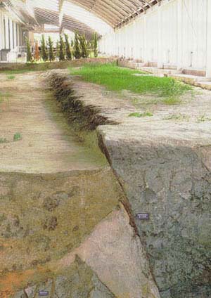
From a display in the excavated trench across the fault: "Underground features of the Nojima fault appearing on the north wall- The main fault plane of the Nojima fault, which was reactivated during the Hyogoken Nambu earthquake, is the clear boundary of strata trending downwards to the right from the fault scarp of at the ground surface. On the fault plane, thee is a dark brown fault clay bed about 2 cm thick. many other fault planes involving clay or sandy clay are observable in the wedge-shaped sand layer on the left side of the plane. Further to the left, sand dikes remain in the silt bed. These dikes are indicators of liquefaction caused by ancient earthquakes." |
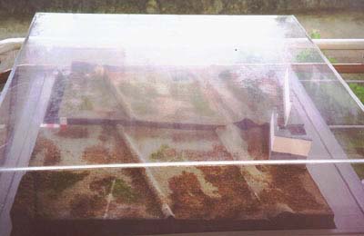
 View from the south end of the fault enclosure, with the trench wall in the foreground. |
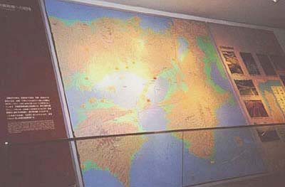 From this wallmap display: "The topography of the central part of the Kinki district is complex and includes low-lying areas such as Lake Biwa, Osaka bay and the Kyoto and Nara basins, as well as high mountains such as the Hira, Ikoma and Rokko ranges. The focus of the 1995 Hyogoken Nambu earthquake was below the Akashi strait, north of Awaji Island. The earthquake reactivated some faults in the Rokko Awaji fault system which separates the Rokko Mountains and Awaji Island from Osaka Bay. The Nojima earthquake fault with a total length of about 10 km, appeared in Hokudan town on Awaji Island. |
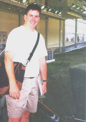 Mark Benthien next to the trench wall. |
 Still image of a moving model showing how the fault moved during the earthquake. The model can be seen in motion near the end of the first video clip. |
Phone 213/740-5843
Fax 213/740-0011
e-mail: SCECinfo@usc.edu